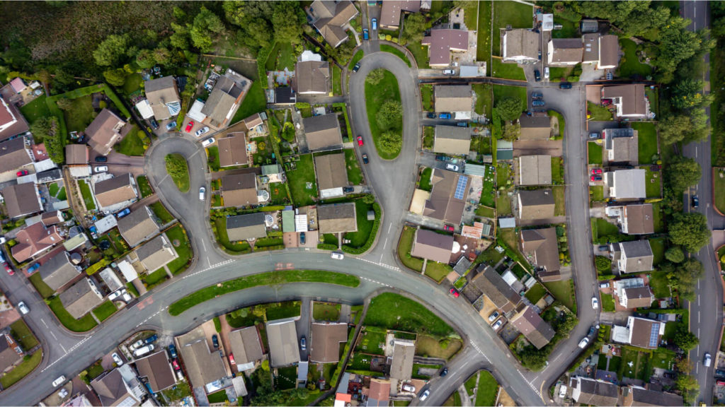
arrow_circle_right Utilities
Transform data into action. Geospatial solutions for optimised utility networks
How can geospatial technologies accelerate your business in the utilities sector?
Enhanced predictive maintenance
Benefit
Data engineering integrates sensor data with geospatial information, while data science models identify patterns for predicting maintenance needs.
Impact
Reduced downtime, extended asset lifespan, and significant cost savings on emergency repairs.
Optimised asset management
Benefit
Mapping tools provide a visual overview of utility infrastructure, while data science algorithms analyse asset performance trends.
Impact
Streamlined maintenance schedules, improved resource allocation, and reduced operational downtime.
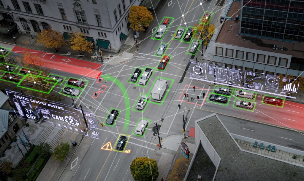
Real-time monitoring of critical assets
Benefit
Integration of IoT sensors with location intelligence enables continuous tracking of asset health and environmental conditions.
Impact
Proactive issue resolution, enhanced reliability, and minimised service disruptions.
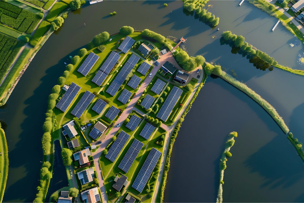
Intelligent grid management
Benefit
Geospatial data integrated with data science models identifies network inefficiencies and potential faults.
Impact
Improved grid reliability, faster fault detection, and reduced outages.
Improved emergency response
Benefit
Location intelligence combined with real-time sensor data provides situational awareness for outage or failure responses.
Impact
Faster restoration of services, minimised customer impact, and stronger trust in utility reliability.
Regulatory compliance and environmental sustainability
Benefit
Geospatial data highlights environmentally sensitive zones, while data science ensures alignment with compliance requirements.
Impact
Reduced regulatory risks, enhanced sustainability practices, and a stronger corporate reputation.
Enhanced customer experience
Benefit
Combining customer usage data with location intelligence allows for personalised services and faster response to service requests.
Impact
Higher customer satisfaction, increased loyalty, and reduced churn.
arrow_circle_right Our accelerators
We solve the most challenging issues in the industry for public and private sector
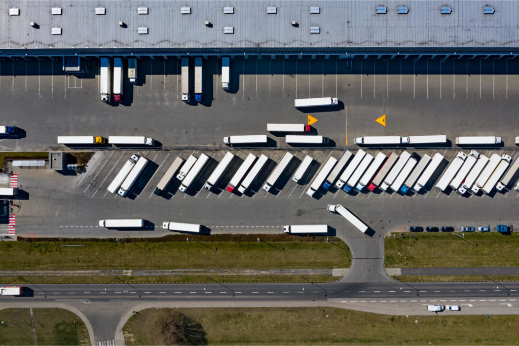
Mapping and location intelligence
Get a new level of asset management and operational efficiency with next-generation mapping and location intelligence technologies. With our solutions, you can optimise network planning, track infrastructure in real time, and improve service delivery. From tracking energy grids to improving maintenance processes, we support you in reducing operational downtime and managing risks proactively for reliable utility services.
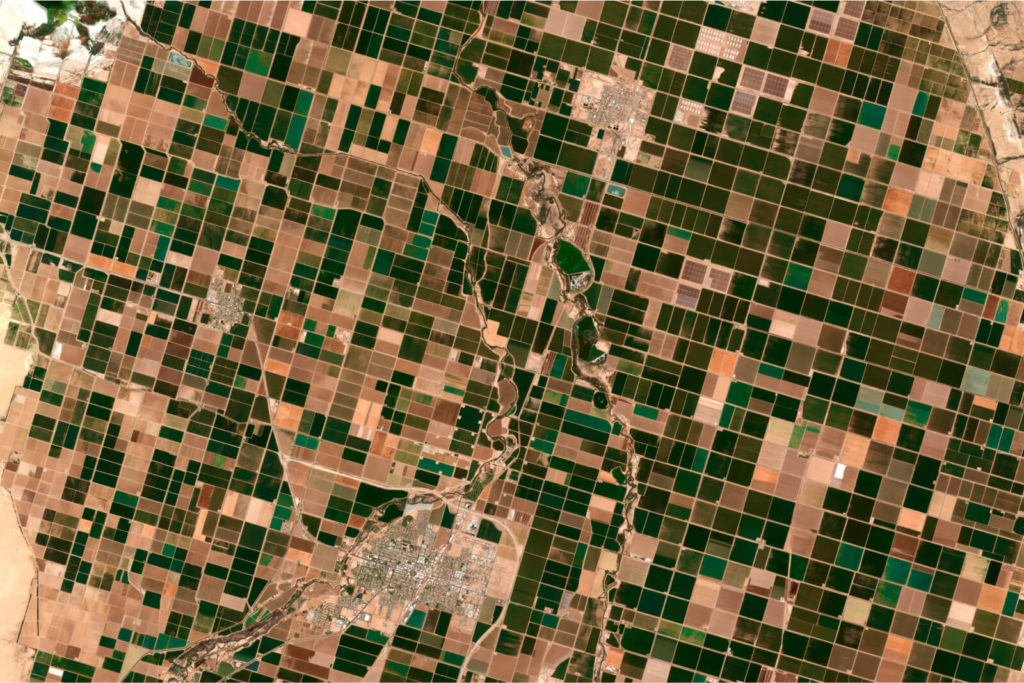
Spatial data engineering and data science
Release the power of your geospatial data and large analytics to optimise utility operations. We provide solutions that let you predict maintenance needs, and optimise resource management, and grid operations. Thanks to predictive analytics and real-time monitoring you can facilitate automation and identify inefficiencies, which leads to cost savings, increased reliability of services, and better long-term planning for sustainable utility infrastructure.
arrow_circle_right Portfolio
See the success stories of our clients


arrow_circle_right Meet our expert
The client’s needs are my starting point
The client’s needs are my starting point
I’ve been involved with Geospatial data and services for as long as I can remember. I graduated with a degree in geoinformatics. I have extensive experience in this industry, so heading up this area of Spyrosoft was a natural path for me. When it comes to my clients – I put communication first to understand their needs and then tailor solutions. I value relationships based on trust, professionalism and partnership. In my private life, I learn the most from my children, as they have a unique way of thinking and curiosity about the world.
Other geospatial services

Explore our range of geospatial solutions
arrow_circle_rightContact
