Small Robot Company: the future of farming
Our client, a UK agricultural robotics startup, aimed to revolutionise agriculture by replacing traditional machinery with autonomous robots that communicate, scan crops, and react to environmental conditions. We designed and built, from scratch, a scalable and flexible geospatial cloud platform that serves as a command centre for their robots.
Technologies
About the project
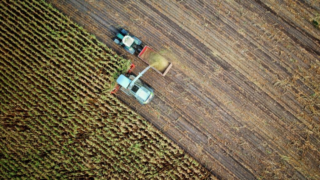
The company has received £2.1 million in funding (300% of the target) from 1759 investors, including individual investors, environmental leaders and organisations such as the National Trust and Waitrose, and they’re now ready for the commercialisation phase. The idea is quite simple and built around the concept of Farming-as-a-Service (FaaS) with Small Robot Company leasing small fleets of robots to farmers. The robots would then communicate between themselves, scanning the crops and reacting to external factors such as floods and droughts. They also remove weeds as necessary.

Business need
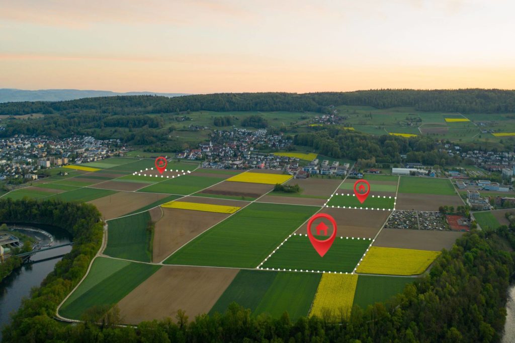
Small Robot Company’s team was looking for a partner who could design and build from scratch a scalable and flexible geospatial cloud platformacting as a heart, and command centre for their robots, allowing the end users to interact with the collected data – high resolution crop maps.
Our role in the project
Spyrosoft was responsible for the development of the first prototype of Wilma’s User Interface – supporting Small Robot Company’s robots: Tom, Dick and Harry. Wilma is an intelligent, autonomous crop monitoring and care system that improves the way that food is produced while reducing its cost to the environment. Taking geospatial imagery gathered in field by robots, then analysing it with ML/AI, Wilma is making farms more profitable with environmental-friendly and non-chemical weeding.
The Spyrosoft team, working with Small Robot Company grew as the project’s needs became more complex. Initially, our software architect focused on designing Wilma from a technological point of view. Once this step was successfully completed, we decided to formed the scrum team, which consisted of cloud and frontend developers, a quality assurance specialist, and an agile project manager, to deliver the solution.
As for the technologies, we used a Java-based backend, the frontend is written in React. We also used GeoServer – an open source server that enables processing of the geospatial data.
Sounds interesting? Check our other geospatial case study –> Spyrosoft’s first project: GeoPlace
arrow_circle_right Our work
Discover other success stories of our clients
arrow_circle_rightGEOSPATIAL SERVICES
