Geospatial technology that drives business forward
Accelerating success across industries with precision-driven solutions.
arrow_circle_right Our clients
They’ve trusted us


arrow_circle_right Our sectors
Sectors we support with geospatial solutions and services
Trusted by both the public and private sectors, we deliver tailored geospatial solutions that drive success across diverse industries.
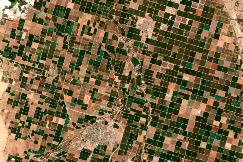
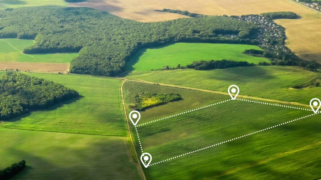
Environmental & sustainability
Empowering environmental initiatives with actionable, data-driven insights that support sustainable resource management, conservation efforts and climate resilience. Our solutions and know-how enable precise monitoring and analysis to protect natural ecosystems and promote sustainability in projects around the world.

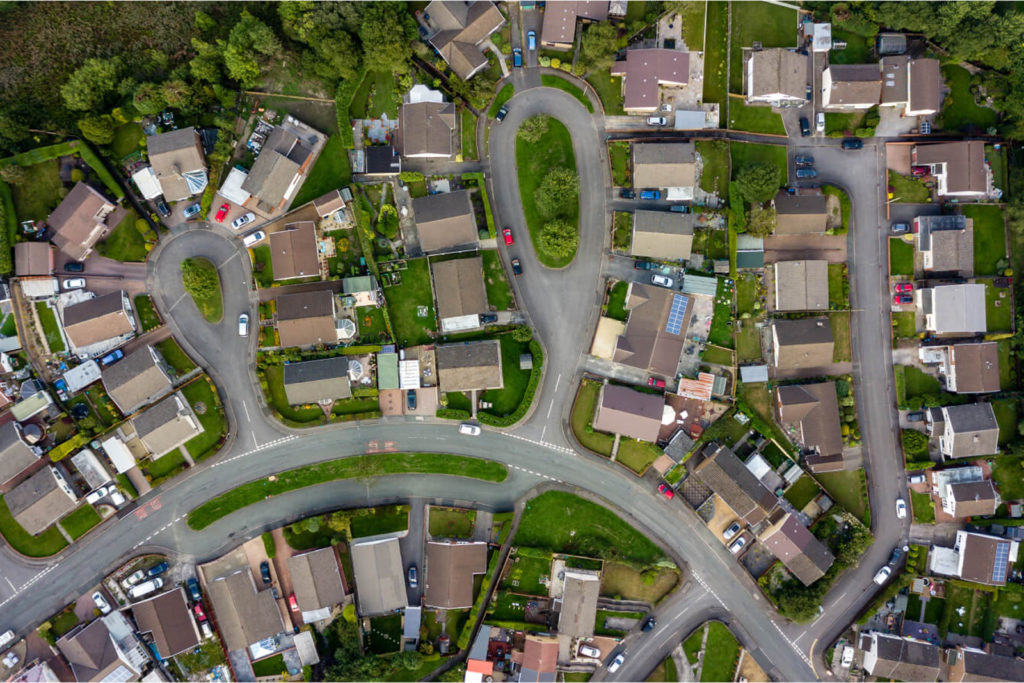
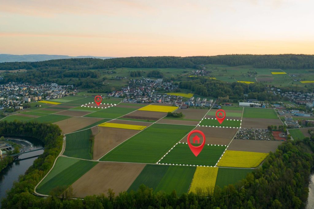
Land & property
From land acquisition and development to management and urban planning. Leveraging advanced geospatial analysis and visualisation, we help stakeholders make informed decisions about land efficiency, regulatory compliance and effective property management.
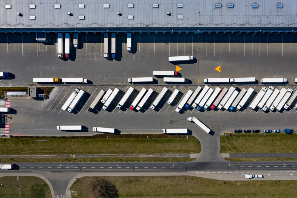
Transport & logistics
Optimise transport networks, improve operational efficiency and ensure smooth logistics processes with accurate geospatial data. Our solutions help to plan and maintain transport infrastructure, reduce transit times and increase supply chain reliability, providing a competitive advantage.
Space
We are supporting space analysis satellite data and global geospatial intelligence with our industry-leading expertise in downstream sectors. We enable organisations to use satellite imagery and remote sensing data for new frontier openings in Earth Observation, climate science and more.
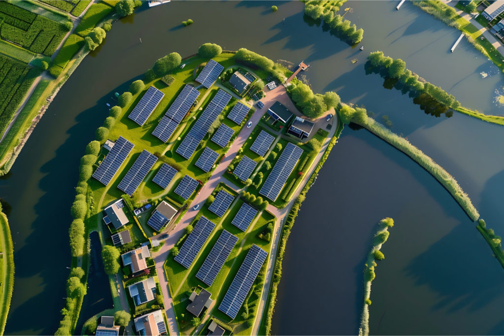
Utilities
From mapping power grids to monitoring water resources with precision, our geospatial IT services empower utilities sector to optimise asset management, enhance operational efficiency, and ensure the reliable delivery of essential services to communities.
arrow_circle_right Our accelerators
We solve the most challenging issues in the industry for public and private sector
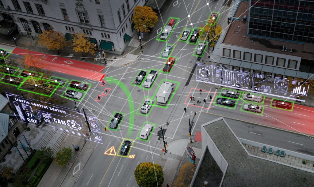
GeoAI
Leverage the power of artificial intelligence to gain deeper insights from geospatial data. GeoAI improves the analysis of imagery, spatial patterns and environmental trends, enabling smarter decision-making. From automating feature extraction to detecting anomalies and predicting future scenarios, GeoAI combines machine learning with geospatial data to transform industries, optimise workflows and support sustainable development.
Earth Observation (EO) Data
Boost the value of your Earth Observation data to reveal accurate insights into land use, environmental change and infrastructure development. We enable you to convert raw datasets into actionable intelligence by processing and analysing satellite imagery, aerial data and remote sensing inputs. This enables smarter planning, informed decision-making and long-term sustainable growth.
Mapping and Location Intelligence
Improve performance, data efficiency and ease of exploration through enhanced map rendering. Embrace indoor mapping solutions to facilitate navigation, asset tracking, facility management and analysis, optimise operations and improve overall security.
Spatial Data Engineering & Data Science
Gain insights from historical data and predict future trends through real-time monitoring and pattern recognition. Utilise scalable storage and processing capabilities to reveal hidden patterns and insights, drawing from diverse sources like satellite imagery and social media feeds.
GIS Platforms
Leverage custom geospatial solutions to enhance efficiency in industrial operations. Seamlessly integrate and facilitate the combination of BIM with GIS for accurate representations in areas such as asset management, urban planning, disaster management and environmental analysis.
Our client’s success story
Our mission is to transform your technological challenges into triumphs. But don’t just take our word for it. Hear directly from our Client – the iconic Ordnance Survey. In this testimonial video, Lee Newton, Head of Operations at OS, shares their partnership journey with us. Through our tailored technology consulting services, we addressed the Client’s concerns and exceeded their expectations, delivering innovative solutions that propelled their project forward.
arrow_circle_right Contact us
Do you have any questions about the cooperation?
Find out what our collaboration might entail and how our solutions can support you, enabling you to stay ahead of the competition.
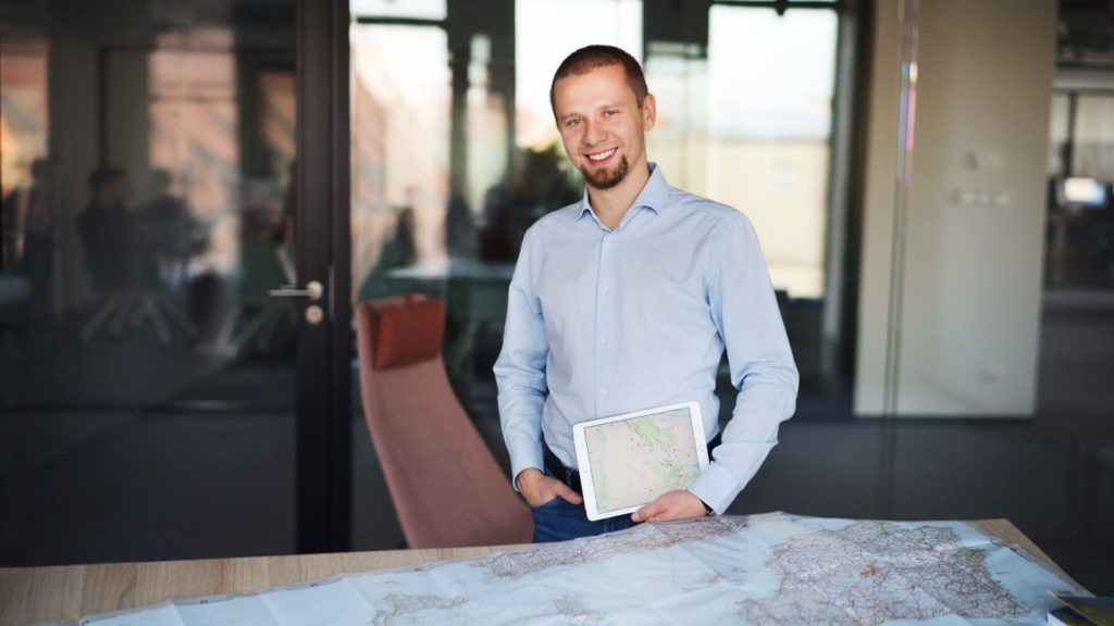
arrow_circle_right Our team
Meet our expert
The client’s needs are my starting point
I’ve been involved with Geospatial data and services for as long as I can remember. I graduated with a degree in geoinformatics. I have extensive experience in this industry, so heading up this area of Spyrosoft was a natural path for me. When it comes to my clients – I put communication first to understand their needs and then tailor solutions. I value relationships based on trust, professionalism and partnership. In my private life, I learn the most from my children, as they have a unique way of thinking and curiosity about the world.
arrow_circle_right Our work
See more success stories of our clients


arrow_circle_rightContact
