arrow_circle_right Transport & logistics
Optimise every mile. Geospatial solutions for reliable logistics
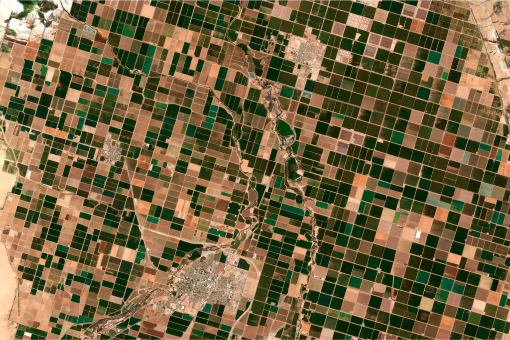
How can geospatial technologies accelerate your business in the transport & logistics sector?
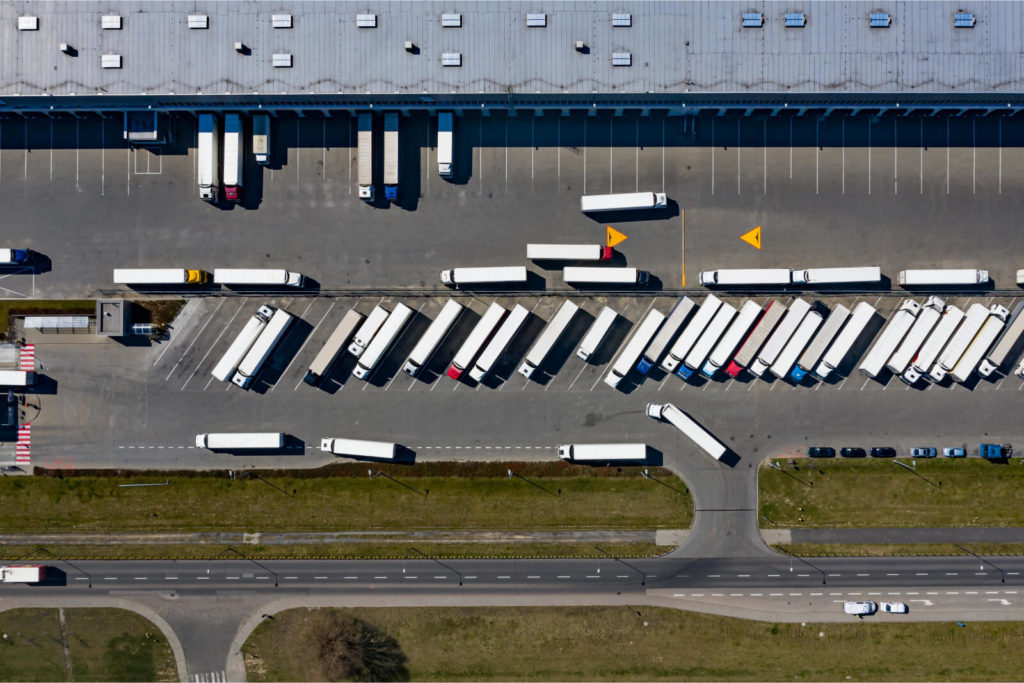
End-to-end supply chain visibility
Benefit
Integration of geospatial tools with IoT sensors to track shipments and monitor logistics at every stage.
Impact
Improved customer trust, faster response to disruptions, and enhanced operational oversight.
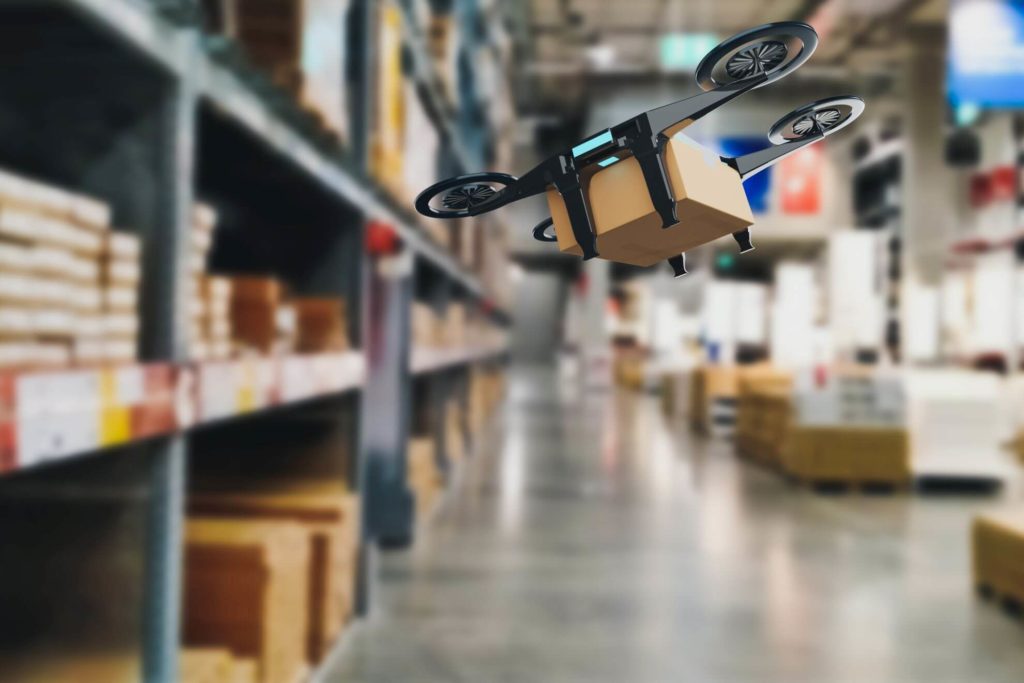
Data-driven last-mile delivery
Benefit
Precision delivery route planning with real-time adjustments based on traffic and customer availability.
Impact
Faster, cost-effective, and more reliable deliveries.
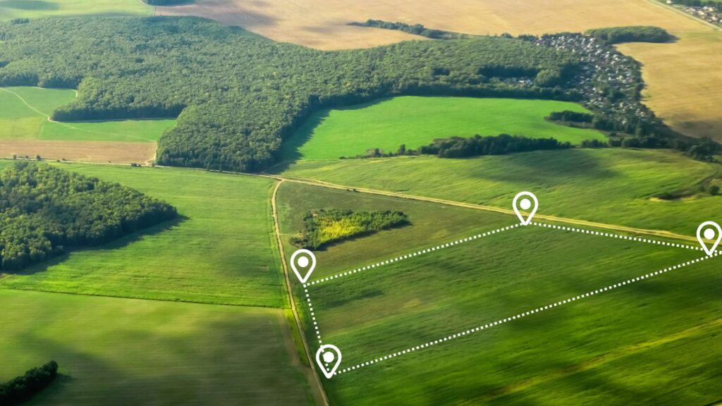
Proactive risk assessment and mitigation
Benefit
Identification of hazardous routes, weather disruptions, and route blockages through geospatial analytics.
Impact
Safer operations, reduced delays, and uninterrupted logistics.
Sustainability tracking and optimisation
Benefit
Carbon footprint analysis and emissions reduction through route optimisation and streamlined logistics.
Impact
Compliance with sustainability regulations and reduced environmental impact.
Centralised asset management
Benefit
Unified platform for real-time tracking and management of fleet vehicles, warehouses, and transport infrastructure.
Impact
Enhanced operational efficiency and informed decision-making.
Customised solutions for complex logistics
Benefit
Tailored geospatial platforms to address specific business challenges, such as multi-modal transport and cross-border logistics.
Impact
Seamless system integration, streamlined operations, and scalability.
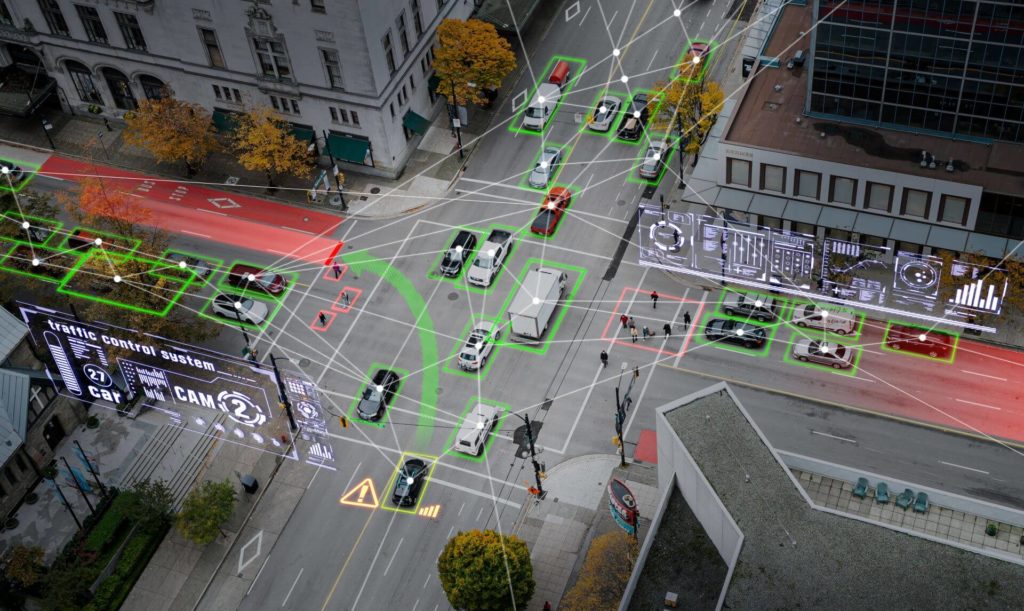
Real-time data visualisation and advanced analytics
Benefit
Transformation of raw data into actionable insights through interactive maps, dashboards, and 3D visualisations.
Impact
Faster, data-driven decisions, improved market positioning, and enhanced profitability.
arrow_circle_right Our accelerators
We solve the most challenging issues in the industry for public and private sector
Mapping and location intelligence
Make your business more efficient, optimise routes, and get improved supply chain visibility with greater mapping and location insight. Our solutions provide real-time geospatial intelligence for tracking fleets, optimising delivery routes, and infrastructure management. With this, you can improve navigation, reduce transit time, and increase overall logistics efficiency to deliver on-time, reliable, and cost-effective transportation operations.
GIS platforms
Utilise custom-made geospatial solutions for higher efficiency in logistics and transport operations. Our solutions let you use real-time location information in fleet management systems for accurate route planning, asset tracking, and supply chain optimisation. Thanks to that you can easily mitigate risks, and plan more effective resource allocation.
arrow_circle_right our work
See the success stories of our clients


arrow_circle_right Our team
Meet our expert
The client’s needs are my starting point
I’ve been involved with Geospatial data and services for as long as I can remember. I graduated with a degree in geoinformatics. I have extensive experience in this industry, so heading up this area of Spyrosoft was a natural path for me. When it comes to my clients – I put communication first to understand their needs and then tailor solutions. I value relationships based on trust, professionalism and partnership. In my private life, I learn the most from my children, as they have a unique way of thinking and curiosity about the world.
Other geospatial services


Explore our range of geospatial solutions
arrow_circle_rightContact
