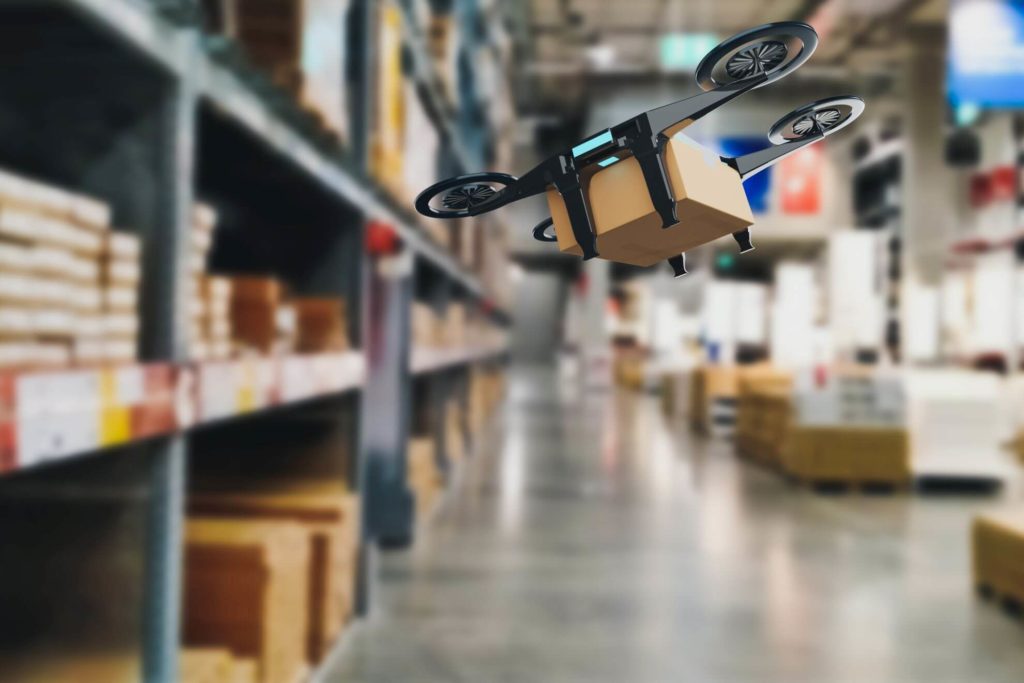
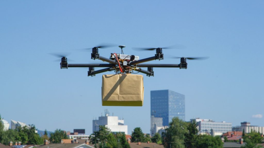
Improving data integration pipelines for drone delivery services
To support their expanding operations, our client – a US-based drone delivery innovator – needed to overhaul their data integration pipelines. Their original setup relied on time-based scripts that couldn’t keep up with growing data volumes or real-time needs. We designed and implemented a new, scalable data platform while keeping the existing system running smoothly throughout the transition. The result is a robust solution that supports real-time and batch data processing, integrates with external systems, and enables safer, faster flight planning.
Services
Challenges and business needs
Due to rapidly accelerating business requirements, our client needed to build an efficient, scalable, and highly available data platform that would allow better and faster data integration with systems like LAANC (Low Altitude Authorisation and Notification Capability).
The current solution based on simple scripts fired at specific time intervals was no longer sufficient, and there was a need to design a new system that would be tailored to the needs of the expanding company. The aim of the project was to rebuild the existing system and invent a new, more reliable solution that could seamlessly support our client’s growing operations.
Our responsibilities
To overcome client challenges and effectively meet their business needs, our team designed and implemented a new data platform while also maintaining the old system. We initiated the project by conducting an in-depth analysis of the existing data integration solutions to gain a thorough understanding of their functionalities, limitations, and areas for improvement.
This approach allowed us to develop a meticulous plan for the development and implementation of the new data platform while ensuring the smooth operation of the existing system during the transition phase.
Then, we proposed a new strategy for data integration pipelines, encompassing elements such as data archiving, real-time and batch processing, and future-proof reporting capabilities. By leveraging cutting-edge technologies and industry best practices, we were able to build a solution that not only fulfilled the client’s current requirements, but also provided a solid foundation for future scalability, following innovations and further growth of the company.
Results
Our collaboration with the client enabled the successful implementation of a new data platform that brings tangible benefits and supports the efficiency of ongoing operations. The new solution allows for seamless integration with external systems such as LAANC, enabling efficient flight planning in line with real-time updates on airspace conditions and thereby ensuring compliance with regulatory requirements and enhancing safety.
More so, since the platform was built from the beginning with scalability and the ability to swiftly process large amounts of data in mind, it can provide the client with the flexibility to adapt to changing business requirements and effortlessly handle increasing volumes of data. The upgraded data platform provides excellent performance and reliability, minimising downtime and optimising the operational efficiency of drone delivery programs.
Let’s talk about your geospatial project

arrow_circle_right Case Studies