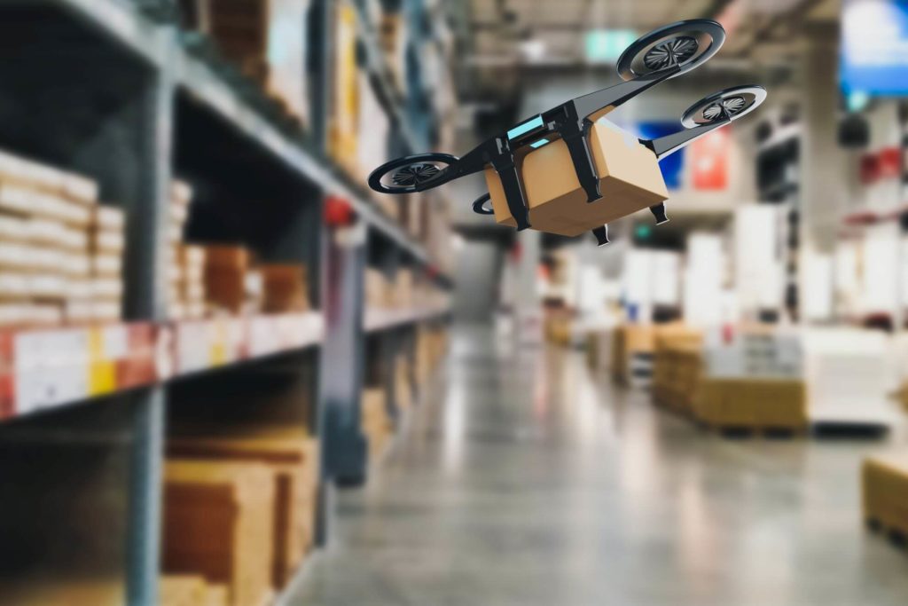
arrow_circle_right Land & property
From boundaries to progress. Geospatial solutions for urban growth
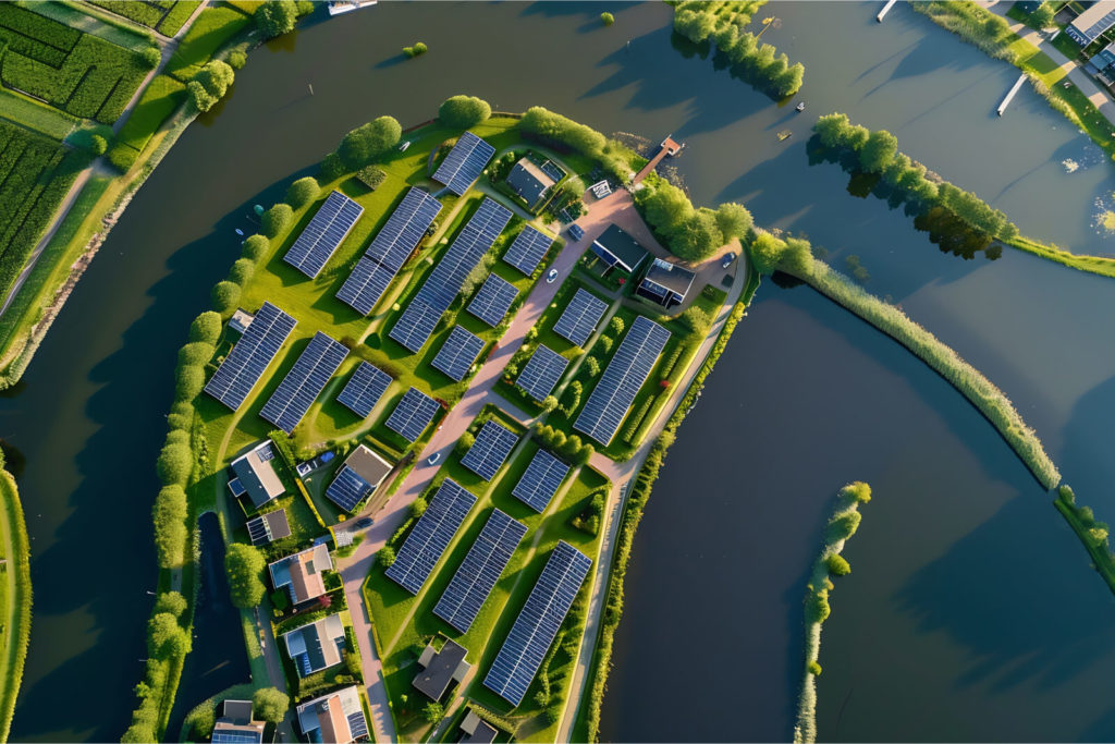
How can geospatial technologies accelerate your business in the land and property sector?
Precise site and property analysis
Benefit
Using your LiDAR and 3D point cloud data, we generate accurate topographic models that capture intricate terrain, vegetation, and structural details.
Impact
Enables accurate property assessments for better investment decisions, improved land use planning, and quicker project feasibility studies.
3D visualisation and virtual tours
Benefit
Your high-resolution scans are transformed into realistic 3D visualisations and virtual tours.
Impact
Improves marketing strategies, accelerates sales, and strengthens stakeholder communication through immersive real estate experiences.
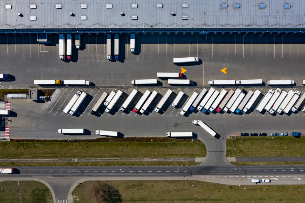
Monitoring and maintenance
Benefit
The remote sensing data you collect can be processed to monitor infrastructure conditions and identify risks such as erosion, structural weaknesses or flooding.
Impact
Extends the lifespan of your assets, reduces maintenance costs, and ensures proactive issue resolution.
Integrated property data management
Benefit
We consolidate your cadastral records, survey data, and imagery into a unified, actionable format.
Impact
Reduces manual processing, improves data accessibility, and speeds up property transactions and development projects.
Risk assessment and mitigation
Benefit
We process your geospatial and environmental datasets to identify risks such as flood zones, seismic activity, or regulatory challenges.
Impact
Supports safer property developments, ensures compliance, and reduces liability for your projects.
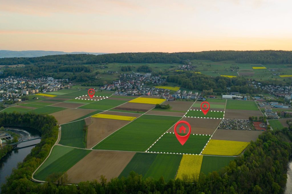
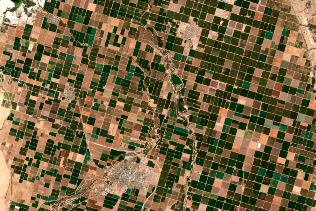
Strategic land use and acquisition
Benefit
Using your provided mapping and zoning data, we analyse land use potential and streamline acquisition processes.
Impact
Improves investment decisions, reduces legal risks, and accelerates project timelines.
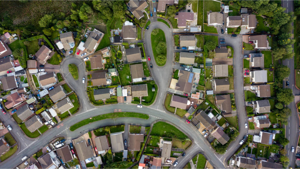
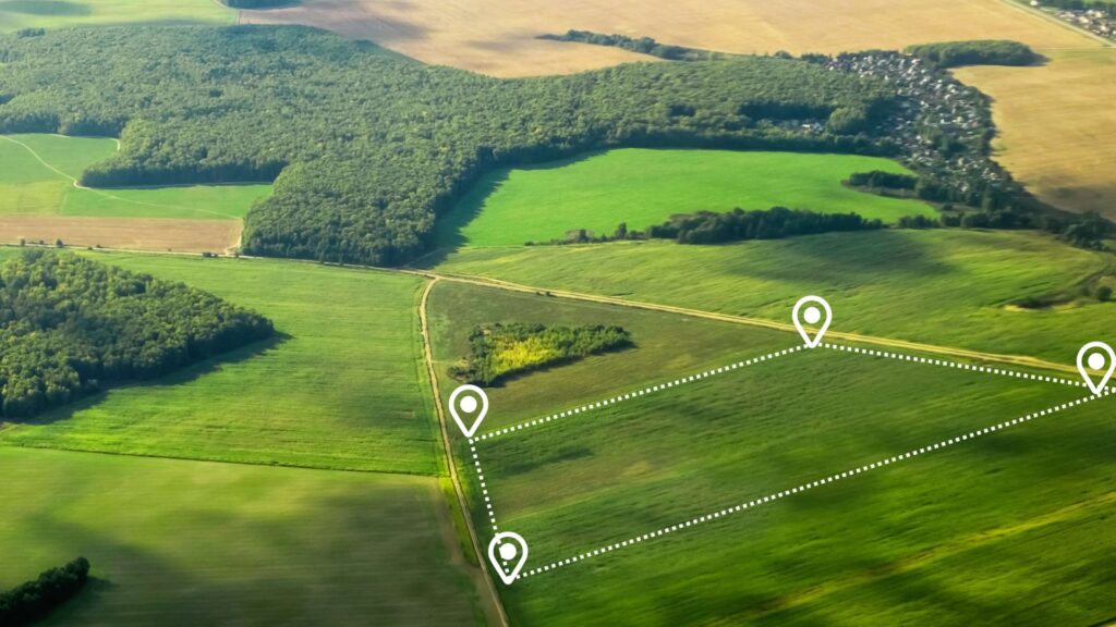
Improved urban and infrastructure planning
Benefit
With your spatial datasets, we provide insights into transportation networks, population density, and service accessibility for urban planning.
Impact
Guides smarter urban designs, improves property desirability, and integrates public infrastructure effectively.
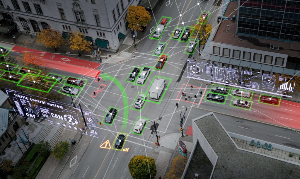
arrow_circle_right Our accelerators
We solve the most challenging issues in the industry for public and private sector
EO data
Leverage your Earth Observation (EO) data for smarter land and property management. Our expertise allows us to build tailored solutions that extract deep insights into land use, property boundaries, and urban development. By working with high-resolution satellite data, including hyperspectral and multispectral imagery, we enable the detection and analysis of phenomena beyond the visible spectrum, such as heat islands, moisture levels, and air pollution. This approach supports accurate terrain analysis, infrastructure planning, and property valuation, helping you optimise land use and ensure regulatory compliance.
Spatial data engineering and data science
Get the full potential of your geospatial data to enhance land and property management. We know how to support urban planning, property valuation, and land use optimisation with spatial data engineering. Our solutions provide precise analysis and predictive insights to help you ensure regulatory compliance, and maximise the efficient use of land resources.
Mapping and location intelligence
You can redefine land and property management with our mapping and location intelligence solutions. We provide precise insights into property boundaries, land use patterns, and urban expansion. From facilitating smarter site selection, infrastructure planning, and asset management to optimising operations and improving overall security.
arrow_circle_right Portfolio
See the success stories of our clients


arrow_circle_right Our team
Meet our expert
The client’s needs are my starting point
I’ve been involved with Geospatial data and services for as long as I can remember. I graduated with a degree in geoinformatics. I have extensive experience in this industry, so heading up this area of Spyrosoft was a natural path for me. When it comes to my clients – I put communication first to understand their needs and then tailor solutions. I value relationships based on trust, professionalism and partnership. In my private life, I learn the most from my children, as they have a unique way of thinking and curiosity about the world.
Other geospatial services

Explore our range of geospatial solutions
arrow_circle_rightContact
