arrow_circle_right Environmental & sustainability
Insight for impact. Geospatial solutions for a resilient future
How can geospatial technologies accelerate your business?
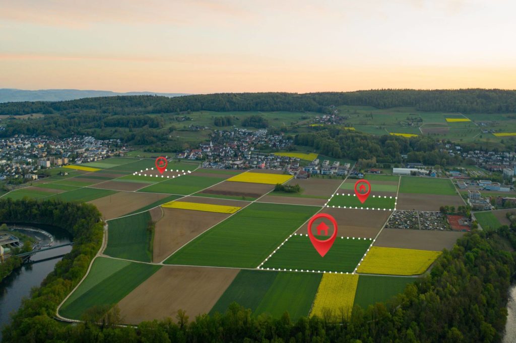
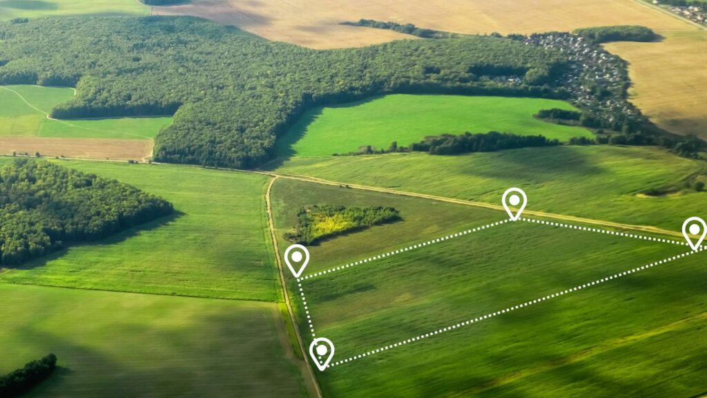
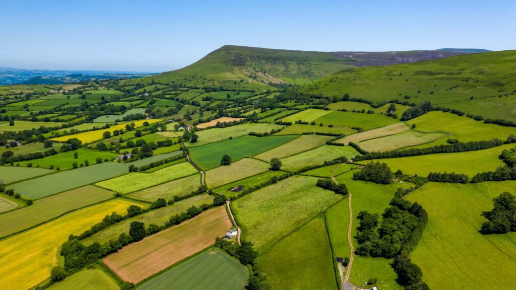
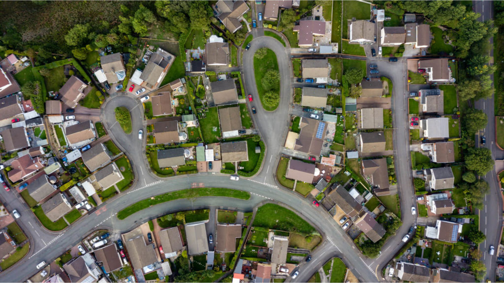
Land use and land cover analysis for smarter planning
Benefit
High-resolution imagery and GeoAI analyse land use, biodiversity hotspots, and threats like deforestation.
Impact
Enhanced land management, urban planning, conservation, and sustainable resource allocation.
Climate change impact assessment through predictive modeling
Benefit
Data science models analyse your EO datasets, such as temperature trends and ice cover, to predict the effects of climate change on ecosystems and communities.
Impact
Better climate adaptation strategies, enhanced resilience planning, and informed policy development.
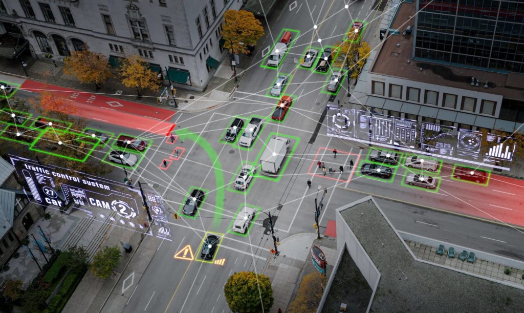
Disaster risk management and mitigation
Benefit
Your remote sensing data, enhanced by AI, delivers real-time insights on natural disasters such as floods, wildfires, and hurricanes, enabling precise damage assessments.
Impact
Faster disaster recovery, proactive mitigation strategies, and reduced environmental and economic losses.
Carbon emission tracking with AI
Benefit
Using your satellite imagery, GeoAI models measure emissions from industrial, forested, and urban areas to track carbon footprints.
Impact
Improved emissions monitoring, informed compliance with environmental regulations, and effective carbon-reduction strategies.
Enhanced environmental reporting and compliance
Benefit
We process your data into actionable insights and visualisations for sustainability reporting, ensuring compliance with environmental standards.
Impact
Transparent reporting improved corporate responsibility, and stronger stakeholder confidence.
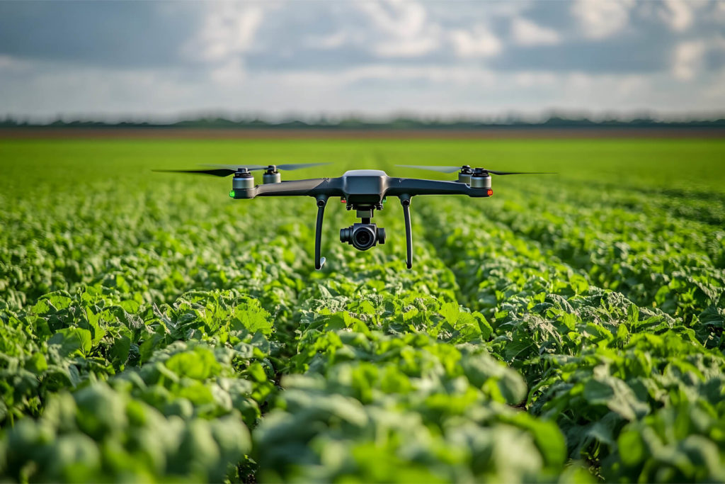
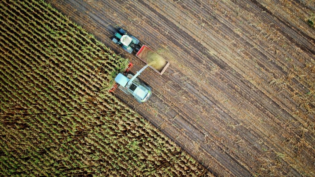
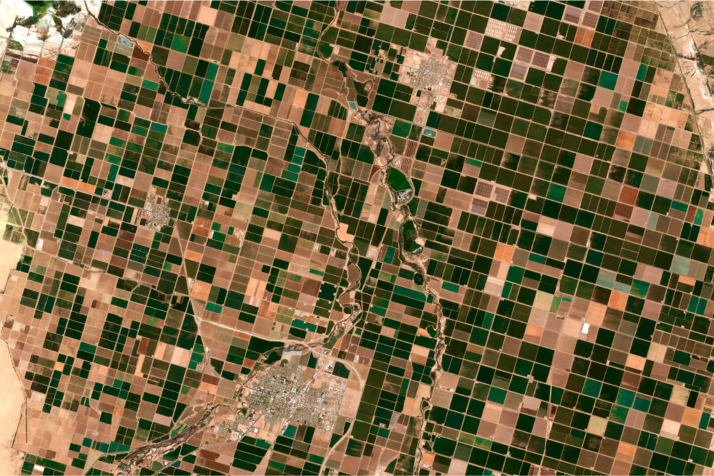
Agricultural sustainability with precision technology
Benefit
GeoAI analyses crop health, soil conditions, and water usage, enabling data-driven sustainable farming practices.
Impact
Increased yields reduced environmental impact, and enhanced food security globally.
arrow_circle_right Our accelerators
We solve the most challenging issues in the industry for public and private sector
EO data
Use your EO data to monitor environmental change, land use mapping, and climate change effects. Earth Observation enables you to analyse, identify change, and monitor at scale across extensive surfaces and heterogeneous spaces. Our solutions help you transform this data into precise insights into ecosystems, biodiversity, and natural resources to drive more informed land management, conservation, and sustainable development.
Spatial data engineering and data science
Transform your raw geospatial data into actionable insights for smarter environmental management. Spatial data engineering processes and integrates diverse datasets to support land use planning, climate analysis, and resource conservation. Through real-time monitoring and predictive modelling, it helps you optimise sustainability efforts, and enhance resilience against environmental challenges.
arrow_circle_right our work
See the success stories of our clients


arrow_circle_right Our team
Meet our expert
The client’s needs are my starting point
I’ve been involved with Geospatial data and services for as long as I can remember. I graduated with a degree in geoinformatics. I have extensive experience in this industry, so heading up this area of Spyrosoft was a natural path for me. When it comes to my clients – I put communication first to understand their needs and then tailor solutions. I value relationships based on trust, professionalism and partnership. In my private life, I learn the most from my children, as they have a unique way of thinking and curiosity about the world.
Other geospatial services
Explore our range of geospatial solutions
arrow_circle_rightContact
