Expanding the reach of real estate valuation software with new mobile systems
For our client, we developed new options for their mobile app to expand the reach of their real estate valuation software. We made sure that the solution now supports users of iOS and Android systems, improving their ability to plan and carry out valuations in the field. We developed an intuitive, touch-friendly interface with a robust architecture that supports surveyors through every stage of the valuation process.
Services
Technologies
About the product
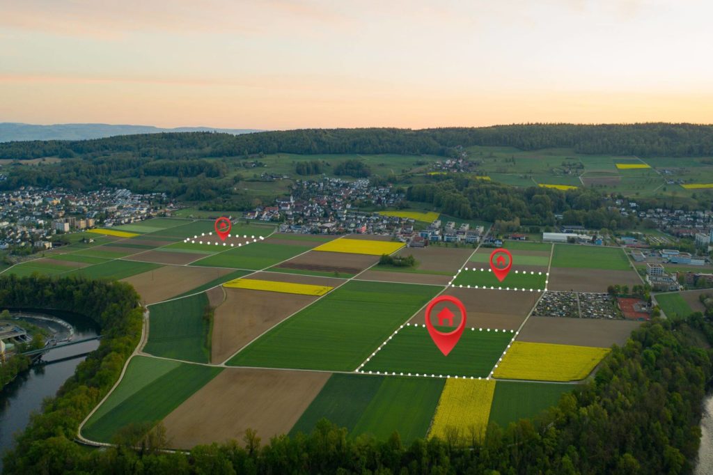
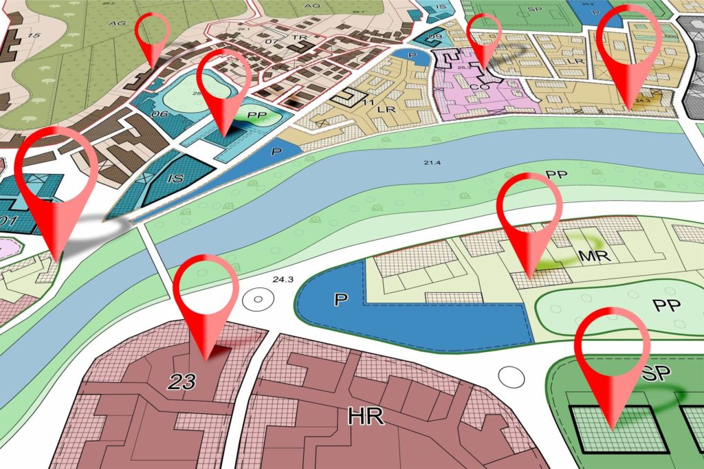
A large part of our client’s operations is providing software for companies whose surveyors perform real estate valuation for institutions or other organisations. The application’s goal is to support them throughout the entire process – from planning the daily, weekly, and monthly schedule to the valuation and post-valuation process.
Challenges and business needs
Our client, as a provider of surveying real estate valuation solutions, was for many years known only for its Windows-based systems. However, with advances in technology and the continuous development of the mobile device market, our client identified an urgent need to extend the reach of its software to other mobile platforms, particularly iOS and Android. To better address customers’ needs, the project aimed to develop a new user- and touch-friendly system that would streamline the entire real estate valuation process.
Our responsibilities
We have joined forces with the client’s product team in the design of the new software so that we could leverage our experience in software design and development as well as offer comprehensive services to help accomplish the company’s goals.
The scope of our cooperation ranged from the UX and product analysis through implementation to maintenance and was conducted in compliance with SaFe 5.0 methodology guidelines.
In the course of the work, we conducted a thorough analysis of the client’s existing product, which allowed us to build a robust system architecture to serve as the basis for the new mobile application. Then, we developed the application with the React Native framework, which allowed us to achieve native, multi-platform mobile software.
Furthermore, our involvement in the project went beyond the initial planning and development phases. It also included providing ongoing maintenance and support services to ensure that the application remains fully functional, secure, and up-to-date with ever-changing industry standards and user expectations.
Results
Our collaborative efforts culminated in the successful launch of a cutting-edge mobile application that redefined the real estate valuation experience for its users. Key outcomes of the project included an enhanced user experience that allows surveyors to enjoy a touch-friendly interface and facilitates task planning, valuation processes, and post-valuation activities.
Additionally, expanding the portfolio to include iOS and Android software variants has allowed our client to significantly broaden its market reach. The availability of our client’s solutions on various operating systems and compatibility with a wide range of mobile devices has increased the comfort and functionality for surveyors working in the field, thus providing an opportunity to further expand the base of end customers.
Through a strategic blend of expertise and technical proficiency, we have successfully transformed client’s vision into reality, delivering tangible value to both the company and its users.
arrow_circle_right Our work
See other success stories of our clients


arrow_circle_rightContact us
