Innovation in the geospatial industry: an interview with a Geovation Awards judge – Jaroslaw Marciniak

As the geospatial industry grows, so do the competitions that are associated with it. These include the Geovation Awards, of which our Director of Geospatial Services – Jaroslaw Marciniak, was recently a judge. The competition is held by the Geovation initiative that aims to promote innovative solutions in the industry. The ever-growing event has significant meaning to the whole sector. It helps people in the geospatial industry to remain up to date with the latest ideas and to push the entire field forward.
To explore the idea behind the competition and shed light on the innovative projects that compete in it, we spoke to Jaroslaw Marciniak.
What were your experiences of being a judge in the competition?
My job as a judge was to assess the admissions for one of the categories. I was actually asked by the organisers which one of them I prefer. In the end, I judged the entries in the Land, sea and air category. The submissions in this category were not only about new services or products created by start-ups, but also about innovative research or new ways of capturing data by large organisations or very large companies.
One of the reasons I chose to judge this category was to draw on my experience of working with clients who very often deliver value or data products that are based precisely on the sea, land or air.
I guess we could say that I’m closer to business in my daily work. And I know that in this category, there are also start-ups and solutions that are not only purely public but also commercial. Geovation itself has a lot of members in public organisations and institutions. That’s why, as director of the Geospatial department at Spyrosoft, I was chosen to represent the business side of the industry.
Notably, the Geovation Awards have recently become more global. The entries come from all over the world, which on the one hand, proves the growing importance of this competition, and on the other hand, gives us a chance to look at interesting projects from different parts of the world. For example, there have been large organisations, from Europe, Africa, US and Australia, which have submitted projects covering extensive areas and with new types of data across entire countries.
What were your expectations of the competition, and more specifically of the projects in the Geovation Awards?
I was most interested in projects that commercialised an innovative idea, instead of being just developmental research without a significant business element. As for the expectations of the competition, I thought that there would be more small companies and organisations that are just starting. I expected them to be the ones coming up with innovative ways of using different data sources and presenting them in a new way or offering them with some added value. What surprised me was that large companies such as, let’s say, Hexagon, or entire organisations operating, for example, on a national level, also entered the competition.
Among such large and exciting projects, there was an entry carried out in collaboration between a large organisation linked to the government of a Caribbean country and a large corporation. They delivered a project to map marine life in the Caribbean basin. In it, they used innovative solutions such as attaching cameras to animals – e.g., sharks. This approach allowed them to scan what is happening in the water, what lives there and what the seabed looks like.
What did you pay the most attention to in the projects? What was the most important and interesting to you?
It may sound trivial, but I paid the most attention to innovation. But not innovation just for innovation’s sake, but with an eye on bringing benefits to users and communities as well as to the people and businesses that deliver such innovation.
I once heard that innovation is about more than just new, interesting ideas. They still need to be able to secure funding and, ideally, make money for themselves. That is what innovation is to me. It is something that brings new value on which new solutions can be built. So, it’s not just an innovative way of getting something, but also defining a specific purpose for it.
Then what innovations and technologies played the biggest role in the entries for Geovation Awards?
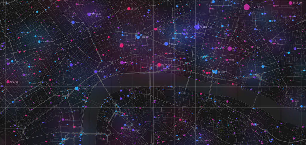
I tried to pay the most attention, and also gave the highest marks to, those projects and submissions that combined multiple aspects of technology. Of course, an important element that the whole geospatial industry is focused on is how the data are acquired. For such competitions, this usually refers to large-scale data – e.g., from drones, satellites, or large-scale imagery.
I was keen to see new technologies used for this as well. Of course, artificial intelligence was very popular, facilitating the extraction of more information from the collected data. In addition to this, it was also important to present such data in a user-oriented way, e.g., through appropriate geospatial data visualisation. It is essential that the solution is delivered, for example, in the form of a service where the user can easily access and work with the data.
In the context of the technologies used, the accessibility of a given solution is also very relevant. On the one hand, this refers to accessibility in terms of use through various media, e.g., desktop or mobile. On the other hand, it also applies to the possibility of integrating data or the solution itself with the entire ecosystem of other systems emerging on the market. Solutions should not be closed only to one entity that invented them. It is important to share knowledge and ideas, make APIs available or adhere to open data standards.
A significant proportion of the projects used open-source tools. In particular, the toolkit provided by the Open Geospatial Consortium – OGC. Of course, big players such as Esri also made their mark on entries, especially in the context of data processing. However, a significant proportion of projects were bespoke solutions using tools from the OGC group, plus additional cloud or AI technologies.
Surprisingly, I think there was very little use of Mixed Reality or Augmented Reality. I have the impression that this is quite a natural direction to take, especially in Land, sea and air projects. There were no such solutions in the competition, so I see potential here for the future.
Are there any technology trends emerging from the competition entries? What impact may they have on the future of the geospatial industry?
Artificial intelligence is definitely a hot topic. Although, I don’t know if it can be called a new trend. In my opinion, for some time now, we’ve been able to see some interesting applications of AI in various geospatial areas. This technology is used to extract information from spatial data or make conclusions based on different data sources. Its popularity is certainly visible, and this is also what I liked about the competition projects.
A noteworthy trend is how much importance companies are placing on interoperability. There was a strong focus in the projects on making sure that the provided data or solutions could function in a wider ecosystem. Combining what the application unit provides with other tools and systems available on the market was very meaningful. Companies did not lock themselves into one self-contained solution; instead, they offered point-to-point operations. This approach was certainly visible, and I think also quite new to the geospatial industry.
Can you share more insights into the competition projects? Which project did you like best, and what was it about?
I gave the highest marks to the project of a platform that uses satellite data and combines it with AI-based solutions. The use of AI made it possible to improve the quality of the data and to automatically create correlation between different data sets. This is a very innovative and also very clever use of the technology.
An important aspect of the project was that the data and analysis could be shared openly. In this case, findings are available to the whole world at a very high resolution for a specific target. This platform makes it possible to see, for example, how crops will act in a given area or how they have behaved over the last 10 years. The solution firstly makes such data, and the analysis based on it, available, and secondly allows it to be extracted into any other system and developed in its own way.
For me, it was very interesting that the project works on a global scale – you can download data for Poland, but also for the Philippines and for countries in Africa. Apart from that, I really liked that the solution follows “API first” approach. That is, the creators primarily rely on the fact that they are the source or intermediary of the data, while someone else builds solutions on top of it. This fits very well with a kind of data-sharing mission, which is why I rated it highly.
You could say that globalisation and accessibility, as well as the use of innovative technologies and solutions that allow data to be shared with other parties, were the most important aspects for me, and I paid the most attention to them in the projects.
To find out more about what innovative solutions our geospatial team can build for your organisation, check our offering page.


arrow_circle_rightContact us
Let’s get in touch to assess how we could support your project

arrow_circle_right Our articles