Geospatial technology consulting services at Spyrosoft. An interview with Jaroslaw Marciniak
At Spyrosoft, we provide end-to-end services that stand on a solid foundation: analysis of the customer’s needs and technical requirements. This first step can also be conducted as a separate service. Let’s learn more about the geospatial technology consulting services from Jaroslaw Marciniak, Director of Geospatial at Spyrosoft.
One of Spyrosoft’s business specialisations is geospatial. What services do we provide in this area?
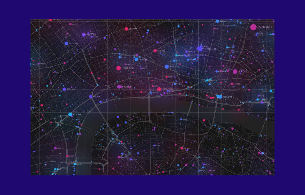
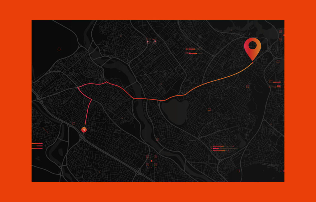
We primarily offer cooperation at the level of technological solutions. We work with companies for which geospatial data is an essential part of the business – such as companies that develop various types of maps or GPS solutions, but also companies that analyse spatial data to obtain the necessary information. This is how, e.g., smart cities work, analysing traffic and pedestrian flow.
Geospatial services encompass institutions with a statutory obligation to provide the public, citizens, or other services (such as emergency management services, or logistics) with information related to postal data, address codes, or topographic terrain features. These services address issues such as understanding how wind impacts the spread of fires, for instance. Of course, we are also talking about commercial solutions here, including support for autonomous drones. In this context, gathering and processing real-time information about the drone’s surroundings is crucial. These are the types of companies we work for at Spyrosoft in the geospatial services division.
This year, we launched a geospatial consultancy offering. How does the service help our clients?
Our objective, not only within the geospatial department but throughout Spyrosoft as a whole, is to address the business challenges our clients face and to support them in introducing technology innovation. This constitutes our foremost goal. Naturally, the approach varies depending on the client’s prior in-house efforts. If a client encounters a challenge and seeks external assistance, we will deploy our consulting solutions either as a consultant or as an auditor of the client’s implemented solutions.
Our role in such cases involves comprehensive technology consulting within the specified domains. We specialise in guiding companies on the effective application of technology in specific areas. For instance, in the realm of AI, our focus is on automated feature extraction in geospatial applications. AI algorithms have proven very effective in the automatic identification and extraction of specific objects, like buildings, from satellite images and photos. These algorithms can go further, for example, by recognising details such as building types, roofing materials, and more – illustrating the practical application of AI in geospatial contexts.
Can you provide an example of a cooperation that includes consulting services?
An example of this is the German startup MicroBubbles Gmbh, which focuses on addressing the issue of microplastics in water. The company has developed an innovative technology designed to purify water. Having advanced technology, they face the challenge of identifying the areas with the highest concentrations of microplastics in Germany. While they are familiar with locations like water treatment facilities, their interest extends to natural bodies of water, such as lakes and rivers, where their technology is equally crucial.
Our involvement in that case includes conducting research and leveraging a team of data analysts and researchers who review scientific papers related to water pollution in Germany. Utilising this information, we construct data warehouses and maps pinpointing areas with the highest microplastic concentration. However, the challenge lies in the limited available data, prompting us to employ machine learning algorithms to extrapolate and cover as much area as possible. In essence, we are developing a system to aid MicroBubbles in identifying optimal locations for setting up of their technology.
Our solution empowers the company to engage with the authorities of areas exhibiting the highest microplastic concentrations. Essentially, our system serves as more than just a tool; it becomes a valuable asset for MicroBubbles, acting not only as an informative resource but also as a potent sales tool. Our consulting efforts will directly support advertising and recognition activities for the company.
What about companies already proficient in the geospatial area?
Another example is our cooperation with Ordnance Survey. It is Great Britain’s national mapping agency that collects and manages maps and geospatial data in the country. Ordnance Survey collects and manages spatial data as a public body, and we are proud to be their technology partner.
It is obvious that a company with over 200 years of presence has more experience in the geospatial field than us, but we can supplement their knowledge in the area of technology. During those 200 years, geospatial methods were not primarily digital; rather, they involved paper maps or, at most, scans of paper maps. Now, of course, the technology is moving forward. We, as a technologically advanced player, understand the problems that a technology company may encounter in the geospatial world, like vast amounts of data, raster data processing, how to optimally display many areas at once, or projections. We add this technological element to companies that have existed in this market for a long time. This includes how to incorporate it into mobile applications and ensure optimal operation for serving this data on a global scale, as some applications are available not only in Great Britain but also in Australia and the United States.
What we offer here is primarily business consulting – how to leverage this data in business and create impactful applications. We provide technological insights on what these applications should encompass, the optimal data exchange architecture, and the key components to build for efficiency. This ensures that Ordnance Survey can concentrate on running their business, not grappling with the intricacies of technology.
In essence, this is our main drive – to empower our clients to direct their attention toward business pursuits rather than focusing on the challenges of technology.
What does the consultancy service look like?
We have people dedicated to leading the geospatial consulting projects – Business Unit Consultants. Those are individuals closely related to Spyrosoft, usually with a strong technological and geospatial background. They combine IT expertise with domain knowledge and business experience, offering advice on optimal solutions, data sources, and system architecture. We are talking about people with at least 10-15 years of experience and often a degree in spatial sciences or geoinformatics. Each of them has individually implemented numerous technological projects, and they all understand geospatial matters from both scientific and domain perspectives.
Depending on the consulting scope, the process involves a group of specialists selected as a result of on their expertise in specific areas, such as machine learning or cloud services. It’s not just one person. The consultant has access to knowledge held by the entire organisation and acts as the glue holding this diverse expertise together.
What results can the client expect from the geospatial technology consulting service?
Speaking of the service results, clients typically receive some form of report, varying in detail and format. Consider, for instance, a feasibility study, which provides an assessment of the viability of addressing a specific business problem using particular technologies. Such a document may even encompass tender documentation, allowing the client to make an informed selection among competing offers. The report outlines a set of functional and non-functional requirements that the solution must meet. Occasionally, it goes a step further, incorporating multiple solution options, user research, and preliminary UX mockups. These mockups can be presented alongside a report detailing how potential users responded to each proposed option. This presentation can take the form of either a usability-focused report or one with a more data-centric focus.
In the realm of geospatial services, where data is omnipresent, reports are especially crucial. Companies dealing with geospatial matters invariably contend with large datasets intricately linked to specific points on Earth. Reports in this domain delve into data integrity and completeness, specifying the data sources that must be considered to construct a particular solution.
I have an example. We work with a Scottish company that manufactures 360 cameras that make high-quality panoramic images. They decided to expand their services by selling not only the devices but also raw camera images to companies with map applications, like Google, Microsoft, or Apple. Our role began here – designing a platform that would give local authorities and SMEs access to these raw images. The goal was to enable them to order updated images of specific streets at regular intervals (e.g., every three months), facilitating automated checks on, for example., the status of traffic signs.
The concept for this additional service emerged from our research. Initially, the idea was to create a portal for previewing street views that allowed for annotations. We embarked on a comprehensive analysis of the project – from spatial considerations, determining the reference system and transformations, to the technological aspect of ensuring optimal portal operation with petabytes of data. The first phase involved designing and comparing different architectural solutions, constructing a functional and non-functional backlog, creating preliminary mockups, engaging with business users, and presenting the concept. This marked the consulting stage. Subsequent phases focused entirely on execution.
So, can we also create a proof of concept as part of consulting?
Yes, we can do that if that is what the client requires to have a complete view. For example, to help them decide whether to base technological solutions on existing licensed solutions or opt for open-source alternatives, which may have some limitations. For MicroBubbles, we created two concepts, one based on open source and the other on commercial solutions. The client made the final decision after comparing these alternatives and making our recommendation. Time to market often plays a crucial role, and in this case, the commercial solution, although more expensive, offered a faster time to market, aligning with the client’s priority.
What geospatial technologies do we work with?
Three main technology groups dominate geospatial – data visualisation, data processing, and data storage and we provide support for all of them. The last group involves topography support databases that comprehend topography queries. For instance, GeoJSON is a popular data exchange format focused on transmitting topography information. We utilise open-source libraries under the OSGeo umbrella (OSGeo is an organisation that supports GIS technology initiatives), as well as popular libraries that allow for data processing, such as the GeoTools library. When it comes to geospatial data visualisation, there are commercial solutions (e.g. ARGIS or Map Box) and open-source solutions, such as Open Layers or Leaflet. Our task is to understand at a technological level which services, libraries, and databases to use for specific projects, adapting them to the client’s needs.
Why it’s worth opting for Spyrosoft’s geospatial technology consulting service?
Our uniqueness on a global scale lies with our people – we have more than 1500 technology specialists within the Spyrosoft group, of whom about 200 works on GIS projects. They have diverse specialisations and work on different technologies, yet all share a deep understanding of this domain. We also employ specialists with PhDs or PhD students in the field of geospatial sciences. These individuals bridge the worlds of technology and business, a combination highly appreciated by our clients. Also, as I mentioned before, we have people with years of experience dedicated strictly to conducting consulting services. This fusion of skills is our greatest strength.
Are you looking for a geospatial technology partner?
Find out more about our geospatial offering or contact us via the form below. Let’s talk about how our experts can support your next project.
Get in touch to check how we could support your geospatial project
RECOMMENDED READING:


